
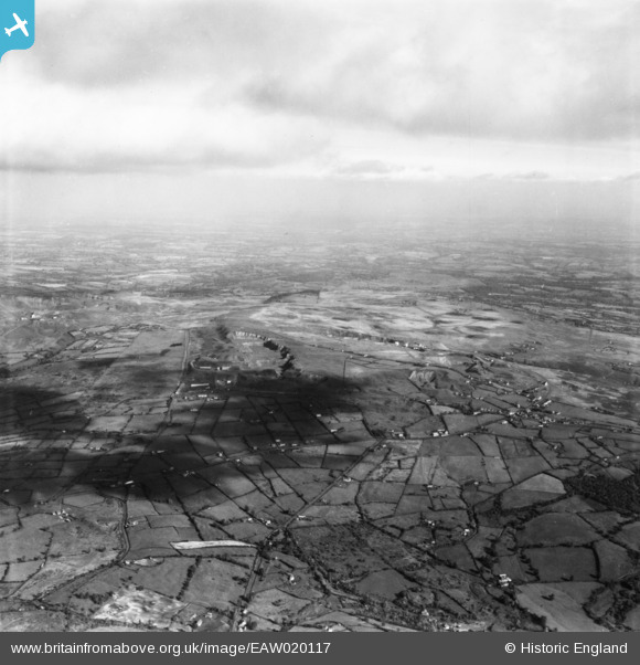
EAW020117 ENGLAND (1948). The quarries on Clee Hill and Titterstone Clee Hill, Clee Hill, from the south-west, 1948. This image has been produced from a print.
© Copyright OpenStreetMap contributors and licensed by the OpenStreetMap Foundation. 2024. Cartography is licensed as CC BY-SA.
Details
| Title | [EAW020117] The quarries on Clee Hill and Titterstone Clee Hill, Clee Hill, from the south-west, 1948. This image has been produced from a print. |
| Reference | EAW020117 |
| Date | 23-October-1948 |
| Link | |
| Place name | CLEE HILL |
| Parish | CAYNHAM |
| District | |
| Country | ENGLAND |
| Easting / Northing | 358428, 275415 |
| Longitude / Latitude | -2.6107346663693, 52.374815789726 |
| National Grid Reference | SO584754 |
Pins
Be the first to add a comment to this image!