
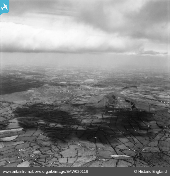
EAW020116 ENGLAND (1948). The quarries on Clee Hill and Titterstone Clee Hill, Angelbank, from the south-west, 1948. This image has been produced from a print.
© Copyright OpenStreetMap contributors and licensed by the OpenStreetMap Foundation. 2024. Cartography is licensed as CC BY-SA.
Details
| Title | [EAW020116] The quarries on Clee Hill and Titterstone Clee Hill, Angelbank, from the south-west, 1948. This image has been produced from a print. |
| Reference | EAW020116 |
| Date | 23-October-1948 |
| Link | |
| Place name | ANGELBANK |
| Parish | BITTERLEY |
| District | |
| Country | ENGLAND |
| Easting / Northing | 358311, 276159 |
| Longitude / Latitude | -2.6125459602617, 52.381495938844 |
| National Grid Reference | SO583762 |
Pins
 John W |
Sunday 2nd of February 2020 09:28:23 PM | |
John W |
Sunday 2nd of February 2020 09:27:48 PM |