
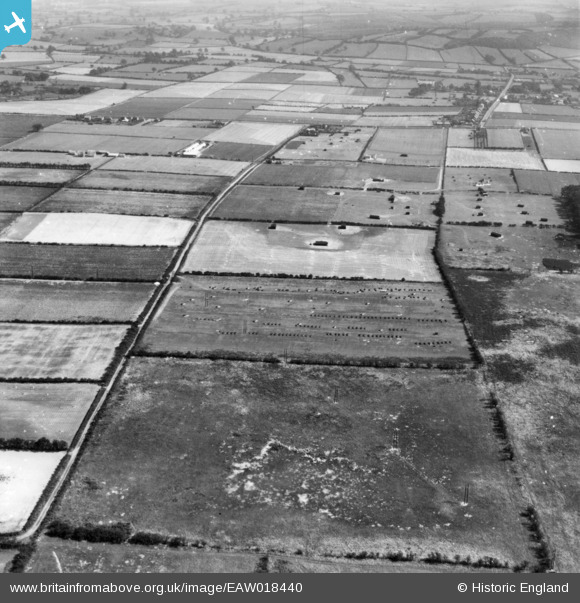
EAW018440 ENGLAND (1948). The N. W. Hempsall Ltd poultry-rearing farm and the surrounding area, from the west, Walesby, 1948. This image has been produced from a print.
© Copyright OpenStreetMap contributors and licensed by the OpenStreetMap Foundation. 2026. Cartography is licensed as CC BY-SA.
Details
| Title | [EAW018440] The N. W. Hempsall Ltd poultry-rearing farm and the surrounding area, from the west, Walesby, 1948. This image has been produced from a print. |
| Reference | EAW018440 |
| Date | 30-August-1948 |
| Link | |
| Place name | WALESBY |
| Parish | WALESBY |
| District | |
| Country | ENGLAND |
| Easting / Northing | 466803, 371026 |
| Longitude / Latitude | -0.99910146946768, 53.231783303657 |
| National Grid Reference | SK668710 |
