
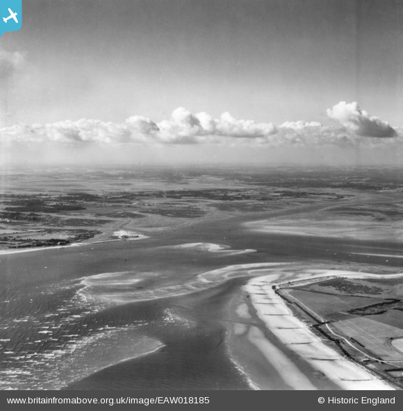
EAW018185 ENGLAND (1948). Stocker's Lake, West Wittering, from the south-east, 1948. This image has been produced from a print.
© Copyright OpenStreetMap contributors and licensed by the OpenStreetMap Foundation. 2026. Cartography is licensed as CC BY-SA.
Details
| Title | [EAW018185] Stocker's Lake, West Wittering, from the south-east, 1948. This image has been produced from a print. |
| Reference | EAW018185 |
| Date | 16-August-1948 |
| Link | |
| Place name | WEST WITTERING |
| Parish | WEST WITTERING |
| District | |
| Country | ENGLAND |
| Easting / Northing | 476436, 98201 |
| Longitude / Latitude | -0.91574999128782, 50.777777669376 |
| National Grid Reference | SZ764982 |
Pins
Be the first to add a comment to this image!