
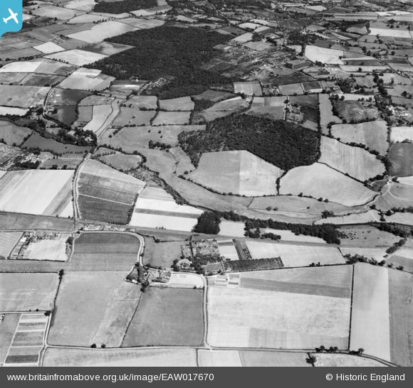
EAW017670 ENGLAND (1948). Olivers Farm, Sparkey Wood and environs, Wickham Bishops, 1948
© Copyright OpenStreetMap contributors and licensed by the OpenStreetMap Foundation. 2025. Cartography is licensed as CC BY-SA.
Details
| Title | [EAW017670] Olivers Farm, Sparkey Wood and environs, Wickham Bishops, 1948 |
| Reference | EAW017670 |
| Date | 26-July-1948 |
| Link | |
| Place name | WICKHAM BISHOPS |
| Parish | WICKHAM BISHOPS |
| District | |
| Country | ENGLAND |
| Easting / Northing | 582735, 212653 |
| Longitude / Latitude | 0.64945353357743, 51.782205184099 |
| National Grid Reference | TL827127 |
Pins

redmist |
Monday 23rd of December 2024 10:17:08 AM |