
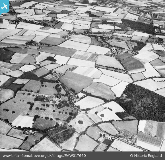
EAW017660 ENGLAND (1948). Park Farm looking towards the village, Great Horkesley, from the south-west, 1948
© Copyright OpenStreetMap contributors and licensed by the OpenStreetMap Foundation. 2025. Cartography is licensed as CC BY-SA.
Details
| Title | [EAW017660] Park Farm looking towards the village, Great Horkesley, from the south-west, 1948 |
| Reference | EAW017660 |
| Date | 26-July-1948 |
| Link | |
| Place name | GREAT HORKESLEY |
| Parish | GREAT HORKESLEY |
| District | |
| Country | ENGLAND |
| Easting / Northing | 596278, 229782 |
| Longitude / Latitude | 0.85528723755379, 51.93145161236 |
| National Grid Reference | TL963298 |
Pins
 Mike Richardson |
Saturday 1st of March 2014 04:35:53 PM |