
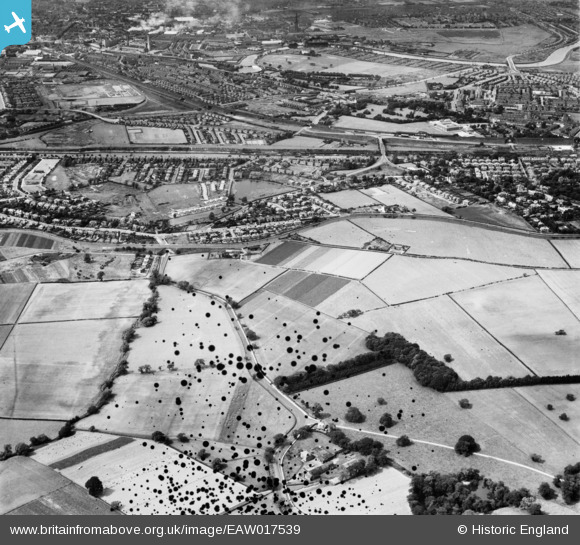
EAW017539 ENGLAND (1948). The residential area between the Manchester Ship Canal and the Bridgewater Canal, Grappenhall, 1948. This image has been produced from a damaged negative.
© Copyright OpenStreetMap contributors and licensed by the OpenStreetMap Foundation. 2026. Cartography is licensed as CC BY-SA.
Details
| Title | [EAW017539] The residential area between the Manchester Ship Canal and the Bridgewater Canal, Grappenhall, 1948. This image has been produced from a damaged negative. |
| Reference | EAW017539 |
| Date | 22-July-1948 |
| Link | |
| Place name | GRAPPENHALL |
| Parish | GRAPPENHALL AND THELWALL |
| District | |
| Country | ENGLAND |
| Easting / Northing | 362438, 386095 |
| Longitude / Latitude | -2.5646014562656, 53.370116956944 |
| National Grid Reference | SJ624861 |
Pins

Lomax |
Sunday 21st of February 2021 07:52:17 PM | |
|
Neil Bishop |
Friday 10th of October 2014 10:58:48 PM |