
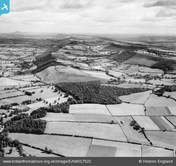
EAW017522 ENGLAND (1948). Berrymill Wood, Hope Dale and Wenlock Edge, Craven Arms, from the south-west, 1948
© Copyright OpenStreetMap contributors and licensed by the OpenStreetMap Foundation. 2025. Cartography is licensed as CC BY-SA.
Details
| Title | [EAW017522] Berrymill Wood, Hope Dale and Wenlock Edge, Craven Arms, from the south-west, 1948 |
| Reference | EAW017522 |
| Date | 22-July-1948 |
| Link | |
| Place name | CRAVEN ARMS |
| Parish | CRAVEN ARMS |
| District | |
| Country | ENGLAND |
| Easting / Northing | 343942, 284025 |
| Longitude / Latitude | -2.8249709579815, 52.450930127539 |
| National Grid Reference | SO439840 |
Pins
Be the first to add a comment to this image!