
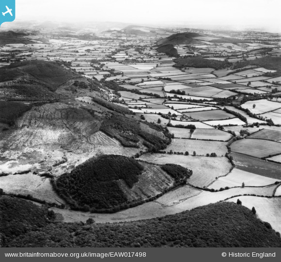
EAW017498 ENGLAND (1948). Hazel Point, Knill Wood and the Hindwell Valley, Knill, from the south-west, 1948. This image has been produced from a print.
© Copyright OpenStreetMap contributors and licensed by the OpenStreetMap Foundation. 2026. Cartography is licensed as CC BY-SA.
Details
| Title | [EAW017498] Hazel Point, Knill Wood and the Hindwell Valley, Knill, from the south-west, 1948. This image has been produced from a print. |
| Reference | EAW017498 |
| Date | 22-July-1948 |
| Link | |
| Place name | KNILL |
| Parish | KNILL |
| District | |
| Country | ENGLAND |
| Easting / Northing | 328912, 261745 |
| Longitude / Latitude | -3.0414044082885, 52.248889977612 |
| National Grid Reference | SO289617 |
Pins
Be the first to add a comment to this image!