
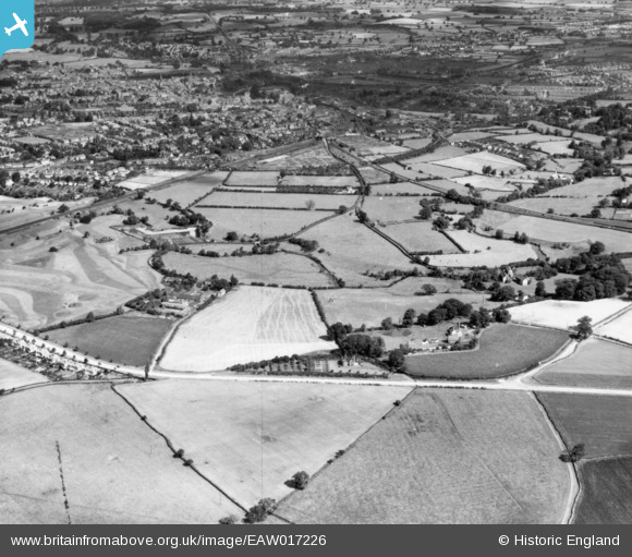
EAW017226 ENGLAND (1948). Fields around Oteley Road and Sutton Farm, Sutton, 1948. This image has been produced from a print.
© Copyright OpenStreetMap contributors and licensed by the OpenStreetMap Foundation. 2026. Cartography is licensed as CC BY-SA.
Details
| Title | [EAW017226] Fields around Oteley Road and Sutton Farm, Sutton, 1948. This image has been produced from a print. |
| Reference | EAW017226 |
| Date | 19-July-1948 |
| Link | |
| Place name | SUTTON |
| Parish | SHREWSBURY |
| District | |
| Country | ENGLAND |
| Easting / Northing | 350046, 310798 |
| Longitude / Latitude | -2.7391871717358, 52.692215069948 |
| National Grid Reference | SJ500108 |
Pins

Jamie |
Tuesday 20th of June 2023 03:30:23 PM | |
|
Jamie |
Tuesday 20th of June 2023 03:29:11 PM | |
|
Jamie |
Tuesday 20th of June 2023 03:28:20 PM | |
|
Jamie |
Tuesday 20th of June 2023 03:26:50 PM | |
|
Jamie |
Tuesday 20th of June 2023 03:24:08 PM | |
|
Jamie |
Tuesday 20th of June 2023 03:21:58 PM | |
|
Jamie |
Tuesday 20th of June 2023 03:20:31 PM | |
|
Jamie |
Tuesday 20th of June 2023 03:20:05 PM | |
|
Jamie |
Tuesday 20th of June 2023 03:19:20 PM | |
|
Jamie |
Tuesday 20th of June 2023 03:18:50 PM | |
|
Jamie |
Tuesday 20th of June 2023 03:18:30 PM | |
|
Jamie |
Tuesday 20th of June 2023 03:17:26 PM | |
|
Jamie |
Tuesday 20th of June 2023 03:17:03 PM | |
|
Jamie |
Tuesday 20th of June 2023 03:16:07 PM | |
|
Jamie |
Tuesday 20th of June 2023 03:14:35 PM | |
|
Jamie |
Tuesday 20th of June 2023 03:08:52 PM | |
|
Jamie |
Tuesday 20th of June 2023 03:05:02 PM | |
|
Ian Sheppard |
Saturday 27th of January 2018 08:47:14 PM |