
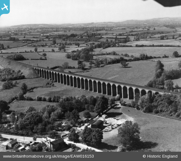
EAW016153 ENGLAND (1948). Ledbury Viaduct, Ledbury, from the south-east, 1948. This image has been produced from a print.
© Copyright OpenStreetMap contributors and licensed by the OpenStreetMap Foundation. 2026. Cartography is licensed as CC BY-SA.
Details
| Title | [EAW016153] Ledbury Viaduct, Ledbury, from the south-east, 1948. This image has been produced from a print. |
| Reference | EAW016153 |
| Date | 21-May-1948 |
| Link | |
| Place name | LEDBURY |
| Parish | LEDBURY |
| District | |
| Country | ENGLAND |
| Easting / Northing | 370256, 238643 |
| Longitude / Latitude | -2.4337441111072, 52.044962984809 |
| National Grid Reference | SO703386 |
Pins
Be the first to add a comment to this image!