
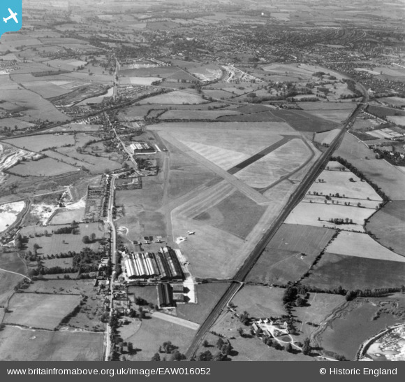
EAW016052 ENGLAND (1948). Radlett Aerodrome, Frogmore, 1948. This image has been produced from a print.
© Copyright OpenStreetMap contributors and licensed by the OpenStreetMap Foundation. 2025. Cartography is licensed as CC BY-SA.
Details
| Title | [EAW016052] Radlett Aerodrome, Frogmore, 1948. This image has been produced from a print. |
| Reference | EAW016052 |
| Date | 19-May-1948 |
| Link | |
| Place name | FROGMORE |
| Parish | ST. STEPHEN |
| District | |
| Country | ENGLAND |
| Easting / Northing | 515534, 203232 |
| Longitude / Latitude | -0.32743801989654, 51.715444424789 |
| National Grid Reference | TL155032 |
Pins
 John W |
Friday 22nd of July 2016 10:24:47 PM | |
John W |
Friday 22nd of July 2016 10:22:55 PM | |
John W |
Friday 22nd of July 2016 10:21:59 PM | |
John W |
Friday 22nd of July 2016 10:21:10 PM | |
John W |
Friday 22nd of July 2016 10:20:23 PM | |
John W |
Friday 22nd of July 2016 10:19:35 PM | |
John W |
Friday 22nd of July 2016 10:18:07 PM | |
John W |
Friday 22nd of July 2016 10:14:10 PM | |
John W |
Friday 22nd of July 2016 10:12:35 PM | |
John W |
Friday 22nd of July 2016 10:09:30 PM | |
John W |
Friday 22nd of July 2016 10:08:26 PM | |
John W |
Friday 22nd of July 2016 10:07:58 PM | |
 clippedwings |
Tuesday 7th of July 2015 08:11:28 PM |