
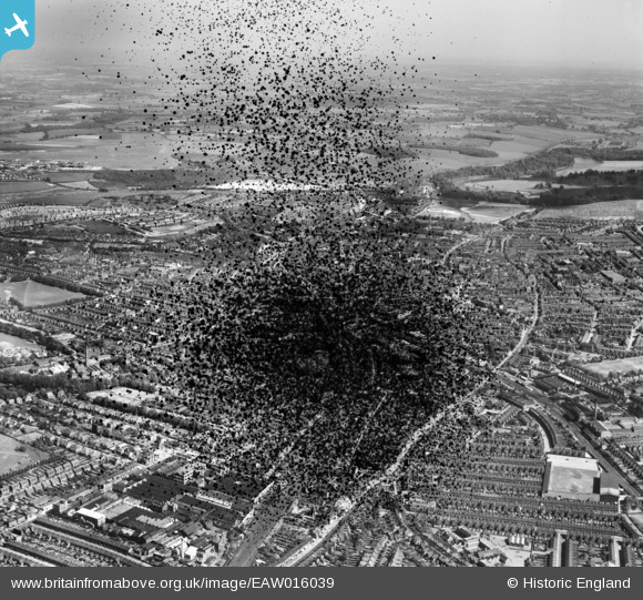
EAW016039 ENGLAND (1948). The town, Luton, from the north-west, 1948. This image has been produced from a damaged negative.
© Copyright OpenStreetMap contributors and licensed by the OpenStreetMap Foundation. 2026. Cartography is licensed as CC BY-SA.
Details
| Title | [EAW016039] The town, Luton, from the north-west, 1948. This image has been produced from a damaged negative. |
| Reference | EAW016039 |
| Date | 19-May-1948 |
| Link | |
| Place name | LUTON |
| Parish | |
| District | |
| Country | ENGLAND |
| Easting / Northing | 508586, 222144 |
| Longitude / Latitude | -0.42205581915149, 51.886826053298 |
| National Grid Reference | TL086221 |
Pins

Class31 |
Tuesday 1st of July 2014 04:21:12 PM |
