
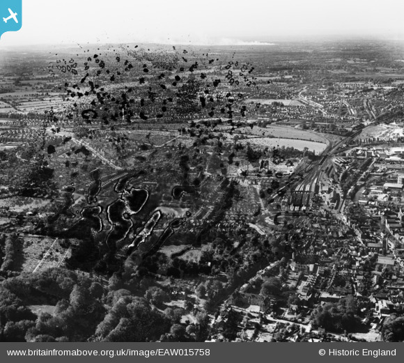
EAW015758 ENGLAND (1948). The Railway Station, Stag Hill and environs, Guildford, from the south-east, 1948. This image has been produced from a damaged negative.
© Copyright OpenStreetMap contributors and licensed by the OpenStreetMap Foundation. 2026. Cartography is licensed as CC BY-SA.
Details
| Title | [EAW015758] The Railway Station, Stag Hill and environs, Guildford, from the south-east, 1948. This image has been produced from a damaged negative. |
| Reference | EAW015758 |
| Date | 18-May-1948 |
| Link | |
| Place name | GUILDFORD |
| Parish | |
| District | |
| Country | ENGLAND |
| Easting / Northing | 499183, 149153 |
| Longitude / Latitude | -0.57924804058431, 51.23241826503 |
| National Grid Reference | SU992492 |
Pins

will |
Monday 22nd of July 2024 06:32:37 PM | |
|
will |
Monday 22nd of July 2024 02:29:33 PM | |

Class31 |
Wednesday 25th of March 2015 07:30:00 PM | |
|
Class31 |
Wednesday 25th of March 2015 07:28:44 PM | |
|
flubber |
Friday 10th of January 2014 06:12:26 PM | |
|
flubber |
Friday 10th of January 2014 06:11:35 PM | |
|
flubber |
Friday 10th of January 2014 06:10:24 PM | |
|
flubber |
Friday 10th of January 2014 06:07:30 PM |

