
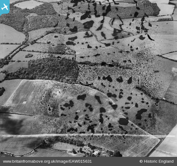
EAW015631 ENGLAND (1948). Park Wood and the surrounding countryside, Combe, 1948. This image has been produced from a damaged negative.
© Copyright OpenStreetMap contributors and licensed by the OpenStreetMap Foundation. 2026. Cartography is licensed as CC BY-SA.
Details
| Title | [EAW015631] Park Wood and the surrounding countryside, Combe, 1948. This image has been produced from a damaged negative. |
| Reference | EAW015631 |
| Date | 14-May-1948 |
| Link | |
| Place name | COMBE |
| Parish | COMBE |
| District | |
| Country | ENGLAND |
| Easting / Northing | 436276, 161079 |
| Longitude / Latitude | -1.4790761376686, 51.347131694973 |
| National Grid Reference | SU363611 |
Pins
Be the first to add a comment to this image!