
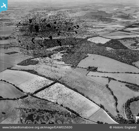
EAW015630 ENGLAND (1948). Combe Wood and the surrounding countryside, Combe, 1948. This image has been produced from a damaged negative.
© Copyright OpenStreetMap contributors and licensed by the OpenStreetMap Foundation. 2026. Cartography is licensed as CC BY-SA.
Details
| Title | [EAW015630] Combe Wood and the surrounding countryside, Combe, 1948. This image has been produced from a damaged negative. |
| Reference | EAW015630 |
| Date | 14-May-1948 |
| Link | |
| Place name | COMBE |
| Parish | COMBE |
| District | |
| Country | ENGLAND |
| Easting / Northing | 436404, 159738 |
| Longitude / Latitude | -1.477375297793, 51.335064730548 |
| National Grid Reference | SU364597 |
Pins
Be the first to add a comment to this image!