
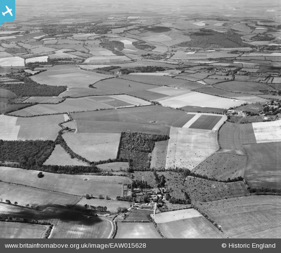
EAW015628 ENGLAND (1948). Heaven Hill, the hamlet and the surrounding countryside, Netherton, from the north-east, 1948. This image has been produced from a damaged negative.
© Copyright OpenStreetMap contributors and licensed by the OpenStreetMap Foundation. 2026. Cartography is licensed as CC BY-SA.
Details
| Title | [EAW015628] Heaven Hill, the hamlet and the surrounding countryside, Netherton, from the north-east, 1948. This image has been produced from a damaged negative. |
| Reference | EAW015628 |
| Date | 14-May-1948 |
| Link | |
| Place name | NETHERTON |
| Parish | FACCOMBE |
| District | |
| Country | ENGLAND |
| Easting / Northing | 437583, 157687 |
| Longitude / Latitude | -1.4606664626257, 51.316544632927 |
| National Grid Reference | SU376577 |
Pins
Be the first to add a comment to this image!