
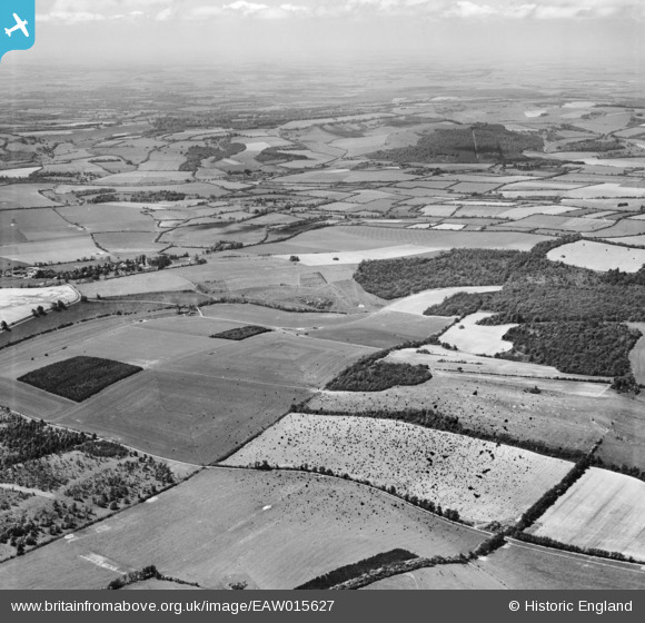
EAW015627 ENGLAND (1948). Linkenholt Hanging, Linkenholt and the surrounding countryside, Combe, from the north-east, 1948. This image has been produced from a damaged negative.
© Copyright OpenStreetMap contributors and licensed by the OpenStreetMap Foundation. 2026. Cartography is licensed as CC BY-SA.
Details
| Title | [EAW015627] Linkenholt Hanging, Linkenholt and the surrounding countryside, Combe, from the north-east, 1948. This image has been produced from a damaged negative. |
| Reference | EAW015627 |
| Date | 14-May-1948 |
| Link | |
| Place name | COMBE |
| Parish | COMBE |
| District | |
| Country | ENGLAND |
| Easting / Northing | 436840, 159392 |
| Longitude / Latitude | -1.4711520577833, 51.331925275349 |
| National Grid Reference | SU368594 |
Pins
Be the first to add a comment to this image!