
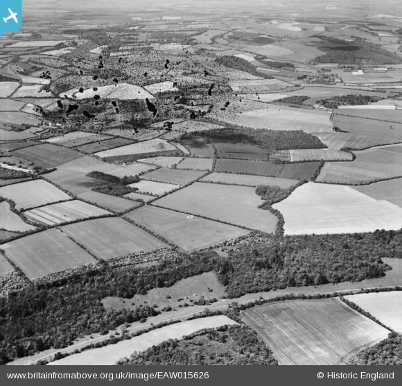
EAW015626 ENGLAND (1948). Netherton Hanging Copse, Wilster Copse and the surrounding countryside, Upton, 1948. This image has been produced from a damaged negative.
© Copyright OpenStreetMap contributors and licensed by the OpenStreetMap Foundation. 2026. Cartography is licensed as CC BY-SA.
Details
| Title | [EAW015626] Netherton Hanging Copse, Wilster Copse and the surrounding countryside, Upton, 1948. This image has been produced from a damaged negative. |
| Reference | EAW015626 |
| Date | 14-May-1948 |
| Link | |
| Place name | UPTON |
| Parish | HURSTBOURNE TARRANT |
| District | |
| Country | ENGLAND |
| Easting / Northing | 437064, 156146 |
| Longitude / Latitude | -1.4682741912012, 51.302721383819 |
| National Grid Reference | SU371561 |
Pins
Be the first to add a comment to this image!