
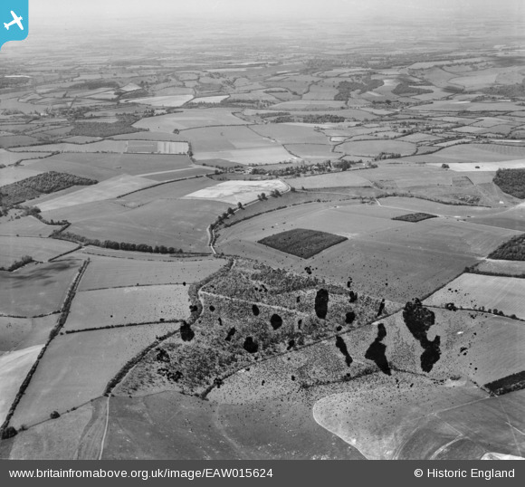
EAW015624 ENGLAND (1948). Highdown, the village and the surrounding countryside, Linkenholt, from the north-east, 1948. This image has been produced from a damaged negative.
© Copyright OpenStreetMap contributors and licensed by the OpenStreetMap Foundation. 2026. Cartography is licensed as CC BY-SA.
Details
| Title | [EAW015624] Highdown, the village and the surrounding countryside, Linkenholt, from the north-east, 1948. This image has been produced from a damaged negative. |
| Reference | EAW015624 |
| Date | 14-May-1948 |
| Link | |
| Place name | LINKENHOLT |
| Parish | LINKENHOLT |
| District | |
| Country | ENGLAND |
| Easting / Northing | 437624, 159367 |
| Longitude / Latitude | -1.4599007031004, 51.331649116783 |
| National Grid Reference | SU376594 |
Pins
Be the first to add a comment to this image!