
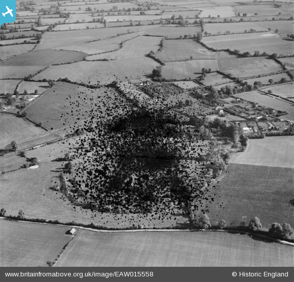
EAW015558 ENGLAND (1948). The Aubreys hill fort (site of), Redbourn, 1948. This image has been produced from a damaged negative.
© Copyright OpenStreetMap contributors and licensed by the OpenStreetMap Foundation. 2026. Cartography is licensed as CC BY-SA.
Details
| Title | [EAW015558] The Aubreys hill fort (site of), Redbourn, 1948. This image has been produced from a damaged negative. |
| Reference | EAW015558 |
| Date | 13-May-1948 |
| Link | |
| Place name | REDBOURN |
| Parish | REDBOURN |
| District | |
| Country | ENGLAND |
| Easting / Northing | 509527, 211132 |
| Longitude / Latitude | -0.41187403109418, 51.787660301684 |
| National Grid Reference | TL095111 |
Pins

Mike Richardson |
Saturday 1st of March 2014 03:29:56 PM | |
|
Mike Richardson |
Saturday 1st of March 2014 03:28:29 PM | |
|
Mike Richardson |
Saturday 1st of March 2014 03:27:08 PM |