
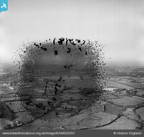
EAW015557 ENGLAND (1948). Radlett Aerodrome, Frogmore, from the south-west, 1948. This image has been produced from a damaged negative.
© Copyright OpenStreetMap contributors and licensed by the OpenStreetMap Foundation. 2026. Cartography is licensed as CC BY-SA.
Details
| Title | [EAW015557] Radlett Aerodrome, Frogmore, from the south-west, 1948. This image has been produced from a damaged negative. |
| Reference | EAW015557 |
| Date | 13-May-1948 |
| Link | |
| Place name | FROGMORE |
| Parish | ST. STEPHEN |
| District | |
| Country | ENGLAND |
| Easting / Northing | 515148, 202004 |
| Longitude / Latitude | -0.33342930037008, 51.704486088237 |
| National Grid Reference | TL151020 |
Pins

Matt Aldred edob.mattaldred.com |
Sunday 1st of August 2021 07:55:43 PM |