
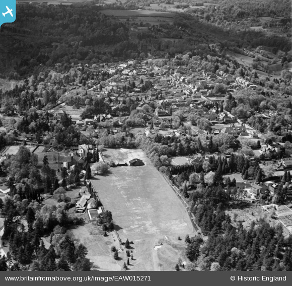
EAW015271 ENGLAND (1948). St Edmund's School Playing Field and Grayshott village, Hindhead, from the east, 1948
© Copyright OpenStreetMap contributors and licensed by the OpenStreetMap Foundation. 2025. Cartography is licensed as CC BY-SA.
Details
| Title | [EAW015271] St Edmund's School Playing Field and Grayshott village, Hindhead, from the east, 1948 |
| Reference | EAW015271 |
| Date | 6-May-1948 |
| Link | |
| Place name | HINDHEAD |
| Parish | HASLEMERE |
| District | |
| Country | ENGLAND |
| Easting / Northing | 487933, 135177 |
| Longitude / Latitude | -0.74377406948353, 51.108607214189 |
| National Grid Reference | SU879352 |
Pins
 David960 |
Monday 19th of January 2015 06:52:03 PM | |
David960 |
Monday 19th of January 2015 06:50:57 PM | |
David960 |
Monday 19th of January 2015 06:48:31 PM | |
David960 |
Monday 19th of January 2015 06:46:40 PM | |
David960 |
Monday 19th of January 2015 06:46:07 PM | |
flubber |
Friday 25th of April 2014 07:02:31 PM |