
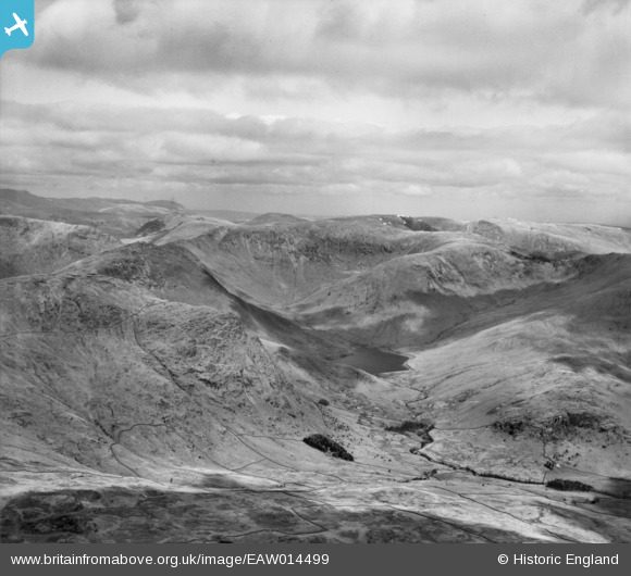
EAW014499 ENGLAND (1948). Rainsborrow Crag and the Kentmere Valley, Kentmere, from the south-east, 1948
© Copyright OpenStreetMap contributors and licensed by the OpenStreetMap Foundation. 2026. Cartography is licensed as CC BY-SA.
Details
| Title | [EAW014499] Rainsborrow Crag and the Kentmere Valley, Kentmere, from the south-east, 1948 |
| Reference | EAW014499 |
| Date | 14-April-1948 |
| Link | |
| Place name | KENTMERE |
| Parish | KENTMERE |
| District | |
| Country | ENGLAND |
| Easting / Northing | 344234, 507754 |
| Longitude / Latitude | -2.8603924836962, 54.46196212573 |
| National Grid Reference | NY442078 |
Pins
Be the first to add a comment to this image!