
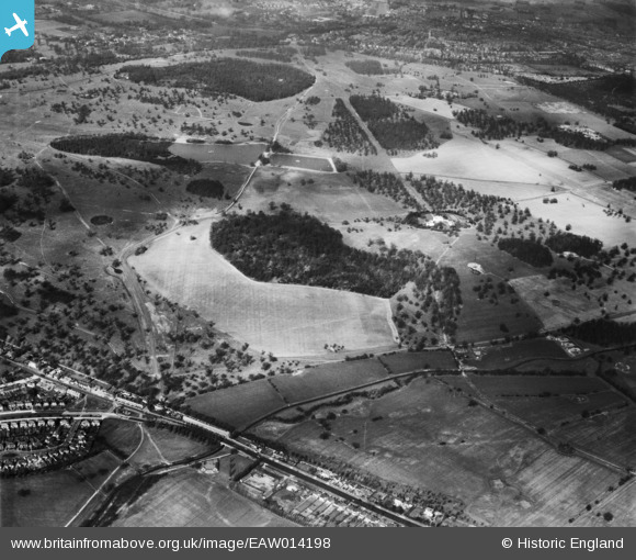
EAW014198 ENGLAND (1948). Richmond Park, Richmond, 1948
© Copyright OpenStreetMap contributors and licensed by the OpenStreetMap Foundation. 2026. Cartography is licensed as CC BY-SA.
Details
| Title | [EAW014198] Richmond Park, Richmond, 1948 |
| Reference | EAW014198 |
| Date | 7-April-1948 |
| Link | |
| Place name | RICHMOND |
| Parish | |
| District | |
| Country | ENGLAND |
| Easting / Northing | 520889, 172777 |
| Longitude / Latitude | -0.26043787090821, 51.440579589427 |
| National Grid Reference | TQ209728 |
Pins

Matt Aldred edob.mattaldred.com |
Thursday 24th of September 2020 08:00:54 PM |