
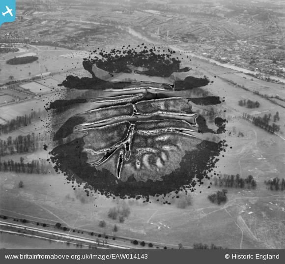
EAW014143 ENGLAND (1948). Hampton Court Park and environs, Hampton Court Park, 1948. This image has been produced from a damaged negative.
© Copyright OpenStreetMap contributors and licensed by the OpenStreetMap Foundation. 2026. Cartography is licensed as CC BY-SA.
Details
| Title | [EAW014143] Hampton Court Park and environs, Hampton Court Park, 1948. This image has been produced from a damaged negative. |
| Reference | EAW014143 |
| Date | 7-April-1948 |
| Link | |
| Place name | HAMPTON COURT PARK |
| Parish | |
| District | |
| Country | ENGLAND |
| Easting / Northing | 516771, 168442 |
| Longitude / Latitude | -0.32109570368752, 51.402477401058 |
| National Grid Reference | TQ168684 |
Pins
Be the first to add a comment to this image!