
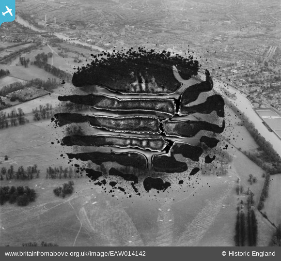
EAW014142 ENGLAND (1948). Hampton Court Park and environs, Hampton Court Park, 1948. This image has been produced from a damaged negative.
© Copyright OpenStreetMap contributors and licensed by the OpenStreetMap Foundation. 2026. Cartography is licensed as CC BY-SA.
Details
| Title | [EAW014142] Hampton Court Park and environs, Hampton Court Park, 1948. This image has been produced from a damaged negative. |
| Reference | EAW014142 |
| Date | 7-April-1948 |
| Link | |
| Place name | HAMPTON COURT PARK |
| Parish | |
| District | |
| Country | ENGLAND |
| Easting / Northing | 517111, 167990 |
| Longitude / Latitude | -0.31635875177216, 51.39834436297 |
| National Grid Reference | TQ171680 |
Pins

Class31 |
Wednesday 9th of September 2015 01:42:55 PM |
