
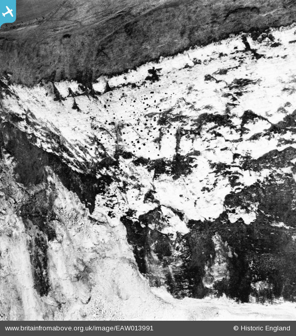
EAW013991 ENGLAND (1948). The coastline, Flamborough Head, 1948. This image has been produced from a damaged negative.
© Copyright OpenStreetMap contributors and licensed by the OpenStreetMap Foundation. 2026. Cartography is licensed as CC BY-SA.
Details
| Title | [EAW013991] The coastline, Flamborough Head, 1948. This image has been produced from a damaged negative. |
| Reference | EAW013991 |
| Date | 23-March-1948 |
| Link | |
| Place name | FLAMBOROUGH HEAD |
| Parish | FLAMBOROUGH |
| District | |
| Country | ENGLAND |
| Easting / Northing | 525712, 470300 |
| Longitude / Latitude | -0.076672818715895, 54.113010217325 |
| National Grid Reference | TA257703 |
Pins
Be the first to add a comment to this image!