
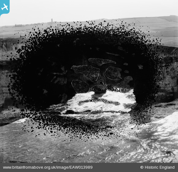
EAW013989 ENGLAND (1948). The coastline looking towards the Old Lighthouse, Flamborough Head, from the north, 1948. This image has been produced from a damaged negative.
© Copyright OpenStreetMap contributors and licensed by the OpenStreetMap Foundation. 2026. Cartography is licensed as CC BY-SA.
Details
| Title | [EAW013989] The coastline looking towards the Old Lighthouse, Flamborough Head, from the north, 1948. This image has been produced from a damaged negative. |
| Reference | EAW013989 |
| Date | 23-March-1948 |
| Link | |
| Place name | FLAMBOROUGH HEAD |
| Parish | FLAMBOROUGH |
| District | |
| Country | ENGLAND |
| Easting / Northing | 524768, 471810 |
| Longitude / Latitude | -0.090482942562096, 54.126805214014 |
| National Grid Reference | TA248718 |
Pins
Be the first to add a comment to this image!