
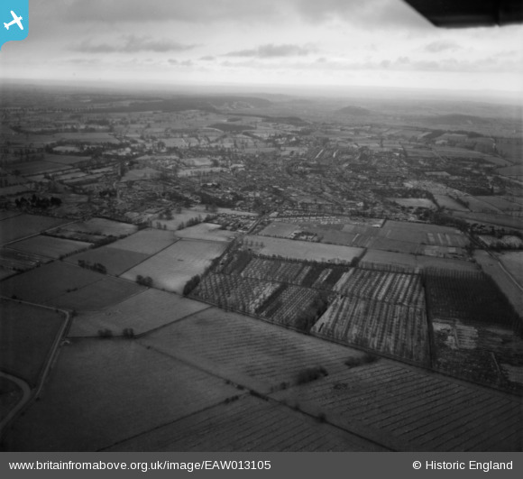
EAW013105 ENGLAND (1948). The village and surrounding countryside, Street, from the north-west, 1948
© Copyright OpenStreetMap contributors and licensed by the OpenStreetMap Foundation. 2025. Cartography is licensed as CC BY-SA.
Details
| Title | [EAW013105] The village and surrounding countryside, Street, from the north-west, 1948 |
| Reference | EAW013105 |
| Date | 21-January-1948 |
| Link | |
| Place name | STREET |
| Parish | STREET |
| District | |
| Country | ENGLAND |
| Easting / Northing | 348000, 137683 |
| Longitude / Latitude | -2.7433047248752, 51.135529948592 |
| National Grid Reference | ST480377 |
Pins
Be the first to add a comment to this image!