
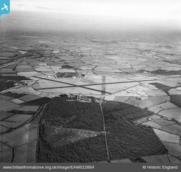
EAW012884 ENGLAND (1948). RAF Podington Airfield, Odell, from the south, 1948
© Copyright OpenStreetMap contributors and licensed by the OpenStreetMap Foundation. 2026. Cartography is licensed as CC BY-SA.
Details
| Title | [EAW012884] RAF Podington Airfield, Odell, from the south, 1948 |
| Reference | EAW012884 |
| Date | 19-January-1948 |
| Link | |
| Place name | ODELL |
| Parish | ODELL |
| District | |
| Country | ENGLAND |
| Easting / Northing | 495857, 258984 |
| Longitude / Latitude | -0.5966277212626, 52.220314567104 |
| National Grid Reference | SP959590 |
Pins
Be the first to add a comment to this image!