
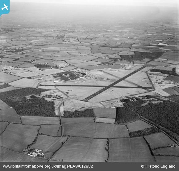
EAW012882 ENGLAND (1948). RAF Podington Airfield, Odell, from the south, 1948
© Copyright OpenStreetMap contributors and licensed by the OpenStreetMap Foundation. 2026. Cartography is licensed as CC BY-SA.
Details
| Title | [EAW012882] RAF Podington Airfield, Odell, from the south, 1948 |
| Reference | EAW012882 |
| Date | 19-January-1948 |
| Link | |
| Place name | ODELL |
| Parish | ODELL |
| District | |
| Country | ENGLAND |
| Easting / Northing | 494853, 259315 |
| Longitude / Latitude | -0.61122902087133, 52.223463674488 |
| National Grid Reference | SP949593 |
Pins

Phil660 |
Friday 20th of October 2017 11:40:42 PM |