
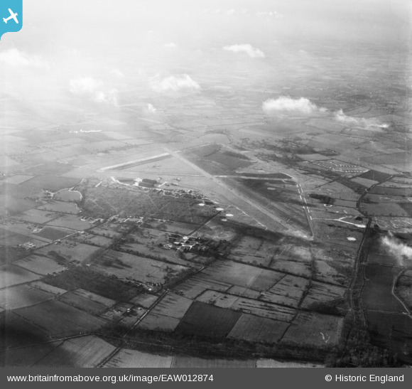
EAW012874 ENGLAND (1948). RAF Hethel Airfield, Hethel, from the north-east, 1948
© Copyright OpenStreetMap contributors and licensed by the OpenStreetMap Foundation. 2026. Cartography is licensed as CC BY-SA.
Details
| Title | [EAW012874] RAF Hethel Airfield, Hethel, from the north-east, 1948 |
| Reference | EAW012874 |
| Date | 19-January-1948 |
| Link | |
| Place name | HETHEL |
| Parish | BRACON ASH |
| District | |
| Country | ENGLAND |
| Easting / Northing | 616561, 301322 |
| Longitude / Latitude | 1.1957457078338, 52.5661863459 |
| National Grid Reference | TG166013 |
Pins
Be the first to add a comment to this image!