
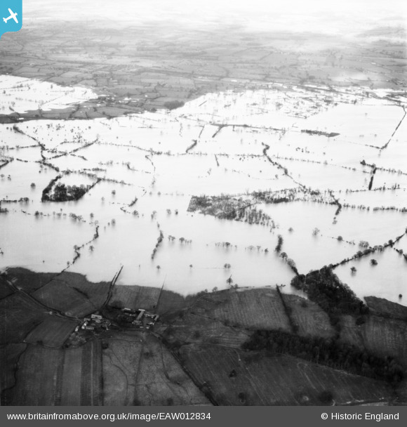
EAW012834 ENGLAND (1948). Flooded fields around Lord's Plantation, Alberbury, from the south, 1948
© Copyright OpenStreetMap contributors and licensed by the OpenStreetMap Foundation. 2026. Cartography is licensed as CC BY-SA.
Details
| Title | [EAW012834] Flooded fields around Lord's Plantation, Alberbury, from the south, 1948 |
| Reference | EAW012834 |
| Date | 14-January-1948 |
| Link | |
| Place name | ALBERBURY |
| Parish | ALBERBURY WITH CARDESTON |
| District | |
| Country | ENGLAND |
| Easting / Northing | 335341, 315623 |
| Longitude / Latitude | -2.9577024218208, 52.734032675843 |
| National Grid Reference | SJ353156 |
Pins
Be the first to add a comment to this image!