
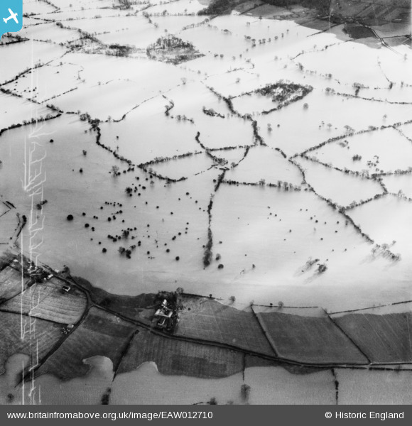
EAW012710 ENGLAND (1948). Extensive flooding of the River Severn between Lord's Plantation and Cae Howel, Alberbury, 1948
© Copyright OpenStreetMap contributors and licensed by the OpenStreetMap Foundation. 2026. Cartography is licensed as CC BY-SA.
Details
| Title | [EAW012710] Extensive flooding of the River Severn between Lord's Plantation and Cae Howel, Alberbury, 1948 |
| Reference | EAW012710 |
| Date | 14-January-1948 |
| Link | |
| Place name | ALBERBURY |
| Parish | ALBERBURY WITH CARDESTON |
| District | |
| Country | ENGLAND |
| Easting / Northing | 334971, 316994 |
| Longitude / Latitude | -2.9634536233883, 52.746312685639 |
| National Grid Reference | SJ350170 |
Pins
Be the first to add a comment to this image!