
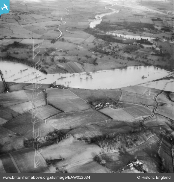
EAW012634 ENGLAND (1948). The River Severn in flood, Atcham, 1948
© Copyright OpenStreetMap contributors and licensed by the OpenStreetMap Foundation. 2026. Cartography is licensed as CC BY-SA.
Details
| Title | [EAW012634] The River Severn in flood, Atcham, 1948 |
| Reference | EAW012634 |
| Date | 14-January-1948 |
| Link | |
| Place name | ATCHAM |
| Parish | ATCHAM |
| District | |
| Country | ENGLAND |
| Easting / Northing | 353389, 309674 |
| Longitude / Latitude | -2.6895644497345, 52.682408358099 |
| National Grid Reference | SJ534097 |
Pins

Matt Aldred edob.mattaldred.com |
Thursday 8th of May 2025 01:09:53 PM |