
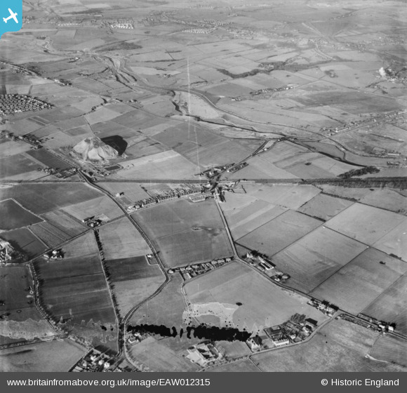
EAW012315 ENGLAND (1947). Collins Green and environs, Collins Green, 1947. This image has been produced from a damaged negative.
© Copyright OpenStreetMap contributors and licensed by the OpenStreetMap Foundation. 2026. Cartography is licensed as CC BY-SA.
Details
| Title | [EAW012315] Collins Green and environs, Collins Green, 1947. This image has been produced from a damaged negative. |
| Reference | EAW012315 |
| Date | 26-November-1947 |
| Link | |
| Place name | COLLINS GREEN |
| Parish | BURTONWOOD AND WESTBROOK |
| District | |
| Country | ENGLAND |
| Easting / Northing | 355935, 394236 |
| Longitude / Latitude | -2.663480290543, 53.44279410791 |
| National Grid Reference | SJ559942 |
