
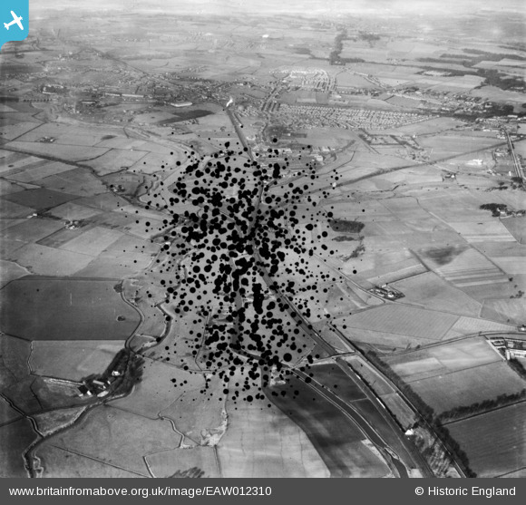
EAW012310 ENGLAND (1947). The St Helens Canal north of Winwick Quay, Winwick, 1947. This image has been produced from a damaged negative.
© Copyright OpenStreetMap contributors and licensed by the OpenStreetMap Foundation. 2026. Cartography is licensed as CC BY-SA.
Details
| Title | [EAW012310] The St Helens Canal north of Winwick Quay, Winwick, 1947. This image has been produced from a damaged negative. |
| Reference | EAW012310 |
| Date | 26-November-1947 |
| Link | |
| Place name | WINWICK |
| Parish | WINWICK |
| District | |
| Country | ENGLAND |
| Easting / Northing | 358765, 393114 |
| Longitude / Latitude | -2.6207252293715, 53.432937456223 |
| National Grid Reference | SJ588931 |
Pins
Be the first to add a comment to this image!