
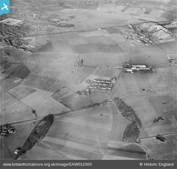
EAW012300 ENGLAND (1947). Countryside around Douglas Avenue and Rosehill Avenue off Neills Road, Bold Heath, 1947
© Copyright OpenStreetMap contributors and licensed by the OpenStreetMap Foundation. 2026. Cartography is licensed as CC BY-SA.
Details
| Title | [EAW012300] Countryside around Douglas Avenue and Rosehill Avenue off Neills Road, Bold Heath, 1947 |
| Reference | EAW012300 |
| Date | 26-November-1947 |
| Link | |
| Place name | BOLD HEATH |
| Parish | BOLD |
| District | |
| Country | ENGLAND |
| Easting / Northing | 354529, 392605 |
| Longitude / Latitude | -2.684412989597, 53.428013744397 |
| National Grid Reference | SJ545926 |
