
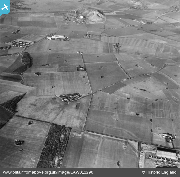
EAW012290 ENGLAND (1947). Moat House Farm and surrounding countryside, Bold Heath, 1947. This image has been produced from a print.
© Copyright OpenStreetMap contributors and licensed by the OpenStreetMap Foundation. 2025. Cartography is licensed as CC BY-SA.
Details
| Title | [EAW012290] Moat House Farm and surrounding countryside, Bold Heath, 1947. This image has been produced from a print. |
| Reference | EAW012290 |
| Date | 26-November-1947 |
| Link | |
| Place name | BOLD HEATH |
| Parish | BOLD |
| District | |
| Country | ENGLAND |
| Easting / Northing | 355362, 392032 |
| Longitude / Latitude | -2.6717947222713, 53.422934251283 |
| National Grid Reference | SJ554920 |
Pins

slark |
Sunday 30th of November 2014 06:40:59 PM |