
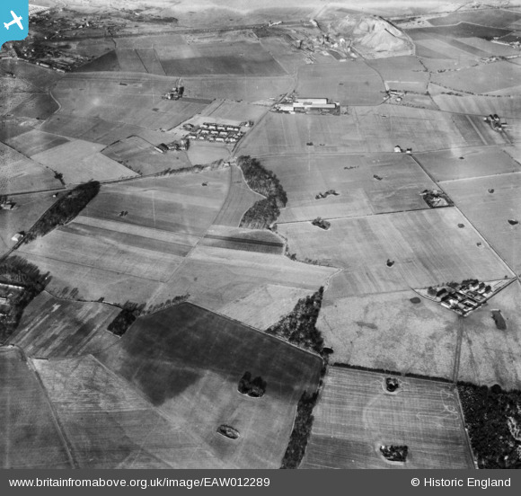
EAW012289 ENGLAND (1947). Lodge Wood and environs, Bold Heath, 1947
© Copyright OpenStreetMap contributors and licensed by the OpenStreetMap Foundation. 2026. Cartography is licensed as CC BY-SA.
Details
| Title | [EAW012289] Lodge Wood and environs, Bold Heath, 1947 |
| Reference | EAW012289 |
| Date | 26-November-1947 |
| Link | |
| Place name | BOLD HEATH |
| Parish | BOLD |
| District | |
| Country | ENGLAND |
| Easting / Northing | 354843, 391981 |
| Longitude / Latitude | -2.6795976786846, 53.422431630201 |
| National Grid Reference | SJ548920 |
Pins

mjw |
Tuesday 23rd of February 2021 02:06:28 PM | |
|
mjw |
Wednesday 10th of February 2021 08:32:57 AM | |
|
mjw |
Tuesday 9th of February 2021 02:55:39 PM | |

St Helens Pubs |
Thursday 17th of April 2014 01:16:41 PM |
