
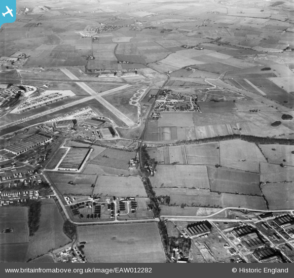
EAW012282 ENGLAND (1947). RAF Burtonwood, Burtonwood, 1947
© Copyright OpenStreetMap contributors and licensed by the OpenStreetMap Foundation. 2026. Cartography is licensed as CC BY-SA.
Details
| Title | [EAW012282] RAF Burtonwood, Burtonwood, 1947 |
| Reference | EAW012282 |
| Date | 26-November-1947 |
| Link | |
| Place name | BURTONWOOD |
| Parish | BURTONWOOD AND WESTBROOK |
| District | |
| Country | ENGLAND |
| Easting / Northing | 357312, 390333 |
| Longitude / Latitude | -2.6422194728125, 53.407823348492 |
| National Grid Reference | SJ573903 |

