
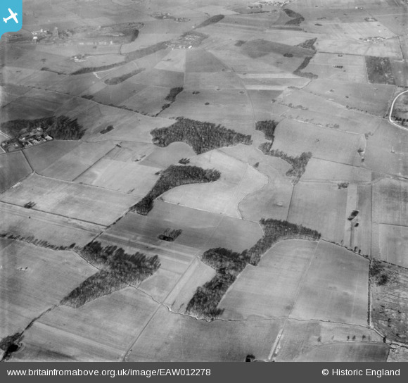
EAW012278 ENGLAND (1947). Countryside to the east of Old Bold Hall Farm, Bold Heath, 1947
© Copyright OpenStreetMap contributors and licensed by the OpenStreetMap Foundation. 2025. Cartography is licensed as CC BY-SA.
Details
| Title | [EAW012278] Countryside to the east of Old Bold Hall Farm, Bold Heath, 1947 |
| Reference | EAW012278 |
| Date | 26-November-1947 |
| Link | |
| Place name | BOLD HEATH |
| Parish | BOLD |
| District | |
| Country | ENGLAND |
| Easting / Northing | 354870, 390080 |
| Longitude / Latitude | -2.6789191702347, 53.405345929119 |
| National Grid Reference | SJ549901 |
Pins
Be the first to add a comment to this image!