
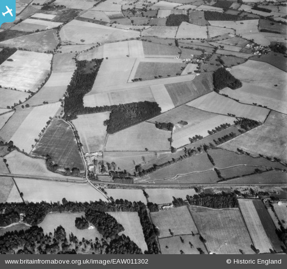
EAW011302 ENGLAND (1947). Bridge Farm, Great Spinney and Polsespond Wood, Rushbrooke, 1947
© Copyright OpenStreetMap contributors and licensed by the OpenStreetMap Foundation. 2026. Cartography is licensed as CC BY-SA.
Details
| Title | [EAW011302] Bridge Farm, Great Spinney and Polsespond Wood, Rushbrooke, 1947 |
| Reference | EAW011302 |
| Date | 1-October-1947 |
| Link | |
| Place name | RUSHBROOKE |
| Parish | RUSHBROOKE WITH ROUGHAM |
| District | |
| Country | ENGLAND |
| Easting / Northing | 587843, 261826 |
| Longitude / Latitude | 0.75038057765224, 52.222159752808 |
| National Grid Reference | TL878618 |
Pins

Matt Aldred edob.mattaldred.com |
Thursday 8th of May 2025 03:16:44 PM | |

cptpies |
Monday 16th of December 2013 02:05:13 PM |