
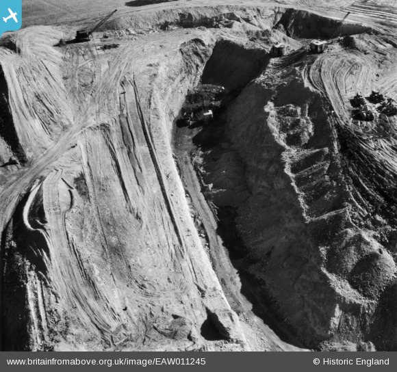
EAW011245 ENGLAND (1947). Opencast coal mining to the south of High Bank, Denby Village, 1947
© Copyright OpenStreetMap contributors and licensed by the OpenStreetMap Foundation. 2024. Cartography is licensed as CC BY-SA.
Nearby Images (5)
EAW011245

EAW011222

EAW011223

EAW011230

EAW011232

Details
| Title | [EAW011245] Opencast coal mining to the south of High Bank, Denby Village, 1947 |
| Reference | EAW011245 |
| Date | 30-September-1947 |
| Link | |
| Place name | DENBY VILLAGE |
| Parish | DENBY |
| District | |
| Country | ENGLAND |
| Easting / Northing | 440685, 346752 |
| Longitude / Latitude | -1.3934711136879, 53.016215085529 |
| National Grid Reference | SK407468 |
Pins
Be the first to add a comment to this image!