
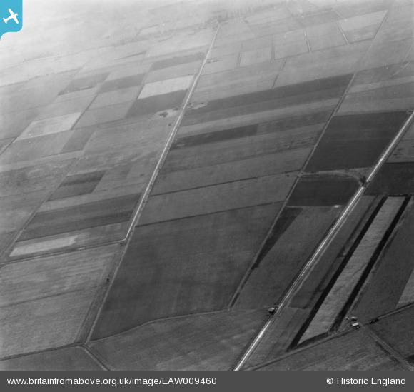
EAW009460 ENGLAND (1947). The area around Anchor Drove and Long Drove, Feltwell, 1947. This image has been produced from a print.
© Copyright OpenStreetMap contributors and licensed by the OpenStreetMap Foundation. 2026. Cartography is licensed as CC BY-SA.
Details
| Title | [EAW009460] The area around Anchor Drove and Long Drove, Feltwell, 1947. This image has been produced from a print. |
| Reference | EAW009460 |
| Date | 19-August-1947 |
| Link | |
| Place name | FELTWELL |
| Parish | FELTWELL |
| District | |
| Country | ENGLAND |
| Easting / Northing | 564538, 291016 |
| Longitude / Latitude | 0.42381507371487, 52.49183454041 |
| National Grid Reference | TL645910 |
Pins

incony |
Tuesday 21st of May 2019 02:18:31 PM |