
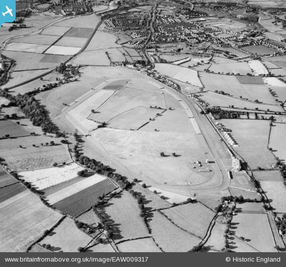
EAW009317 ENGLAND (1947). Carlisle Race Course, Blackwell, 1947
© Copyright OpenStreetMap contributors and licensed by the OpenStreetMap Foundation. 2025. Cartography is licensed as CC BY-SA.
Details
| Title | [EAW009317] Carlisle Race Course, Blackwell, 1947 |
| Reference | EAW009317 |
| Date | 11-August-1947 |
| Link | |
| Place name | BLACKWELL |
| Parish | ST. CUTHBERT WITHOUT |
| District | |
| Country | ENGLAND |
| Easting / Northing | 340177, 552287 |
| Longitude / Latitude | -2.9320951572161, 54.861698090061 |
| National Grid Reference | NY402523 |
Pins

redmist |
Thursday 1st of August 2024 11:19:44 PM |