
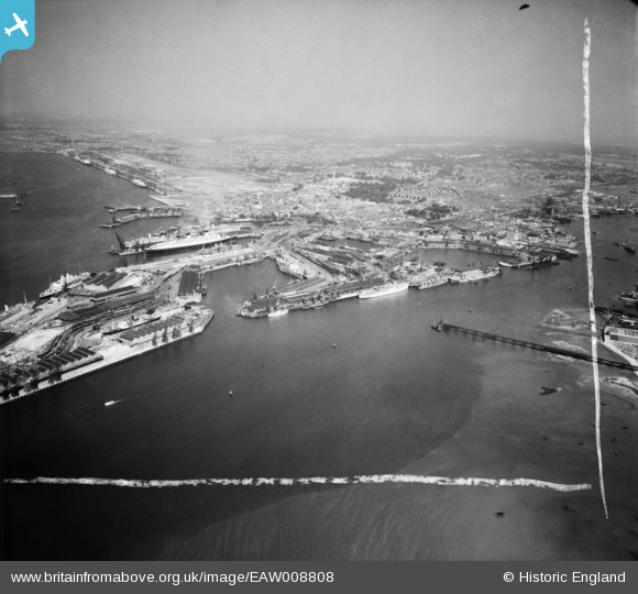
EAW008808 ENGLAND (1947). The docks and the city, Southampton, from the south-east, 1947. This image was marked by Aerofilms Ltd for photo editing.
© Copyright OpenStreetMap contributors and licensed by the OpenStreetMap Foundation. 2025. Cartography is licensed as CC BY-SA.
Details
| Title | [EAW008808] The docks and the city, Southampton, from the south-east, 1947. This image was marked by Aerofilms Ltd for photo editing. |
| Reference | EAW008808 |
| Date | 9-August-1947 |
| Link | |
| Place name | SOUTHAMPTON |
| Parish | |
| District | |
| Country | ENGLAND |
| Easting / Northing | 443139, 109996 |
| Longitude / Latitude | -1.3866416666209, 50.88728431054 |
| National Grid Reference | SU431100 |
Pins

redmist |
Thursday 8th of December 2022 09:15:47 PM | |
|
redmist |
Thursday 8th of December 2022 09:15:10 PM | |
|
redmist |
Thursday 8th of December 2022 09:14:46 PM | |
|
redmist |
Thursday 8th of December 2022 09:13:55 PM |