
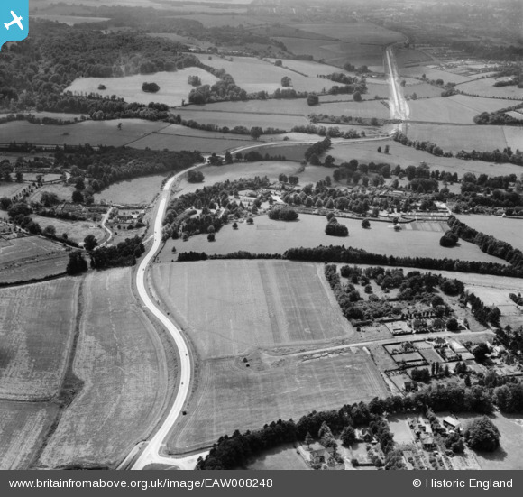
EAW008248 ENGLAND (1947). The A246 at Downside Manor, Leatherhead, from the north-east, 1947
© Copyright OpenStreetMap contributors and licensed by the OpenStreetMap Foundation. 2026. Cartography is licensed as CC BY-SA.
Details
| Title | [EAW008248] The A246 at Downside Manor, Leatherhead, from the north-east, 1947 |
| Reference | EAW008248 |
| Date | 16-July-1947 |
| Link | |
| Place name | LEATHERHEAD |
| Parish | |
| District | |
| Country | ENGLAND |
| Easting / Northing | 517577, 155488 |
| Longitude / Latitude | -0.31379227685462, 51.285869444996 |
| National Grid Reference | TQ176555 |
Pins

OldAdam |
Saturday 2nd of September 2023 06:55:22 PM | |
|
OldAdam |
Saturday 2nd of September 2023 06:53:01 PM | |
|
OldAdam |
Saturday 2nd of September 2023 06:52:16 PM | |
|
OldAdam |
Saturday 2nd of September 2023 06:50:53 PM | |
|
redmist |
Thursday 25th of November 2021 07:09:14 PM |