
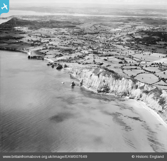
EAW007649 ENGLAND (1947). The coastline between Sidmouth and Otterton, Otterton, 1947
© Copyright OpenStreetMap contributors and licensed by the OpenStreetMap Foundation. 2026. Cartography is licensed as CC BY-SA.
Details
| Title | [EAW007649] The coastline between Sidmouth and Otterton, Otterton, 1947 |
| Reference | EAW007649 |
| Date | 17-June-1947 |
| Link | |
| Place name | OTTERTON |
| Parish | OTTERTON |
| District | |
| Country | ENGLAND |
| Easting / Northing | 310383, 85788 |
| Longitude / Latitude | -3.2681615828563, 50.664278653372 |
| National Grid Reference | SY104858 |
Pins
Be the first to add a comment to this image!